shift the spectrumThermal drone Recovery
Hit deer recovery

Lost Livestock Location
Missing Pet Searches

Search & Rescue
Support

Large acreage
monitoring
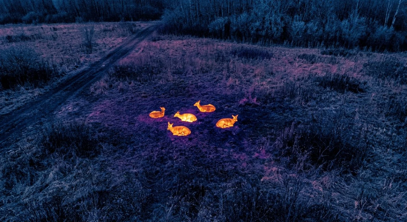
Your best chance at an ethical recovery
shift the spectrum, shift the results$350Highest recovery reates of any method
eliminate those sleepless nights
networked so we can always find you a pilot
why choose usprofessional pilot, professional results
fully licensed and insured
certified wildlife biologist
6 time national champion in radio controlled sports
newest generation of thermal equipment
starlink internet access provided
google map straight to your deer upon discovery
we will fly Ops that others wont!
what to expectas avid hunters ourselves, We understand that when you call us, your day has already been challenging and stressful. Our mission is to make the tracking and recovery process as seamless and stress-free as possible, giving you peace of mind and eliminating those sleepless nights every hunter knows too well.
scheduling rates
Optimal Flight Windows: To ensure the highest accuracy, we deploy when thermal and flight conditions are optimal—typically during the evening, night, or early morning when solar reflection is minimized.
Base Rate: $350 for recoveries within 100 miles of Ashland, Ohio.
Travel Surcharge: A $50 fuel surcharge applies to locations beyond the 100-mile radius.
Convenient Payment: For your convenience, we accept Cash, PayPal, Cash App, Zelle, and Venmo via quick-scan QR codes.
The Recovery Process
Live View Experience: Once on-site, we set up a large external monitor so you can watch the live thermal feed alongside us during the search.
Terrain & Seasonal Factors: Thermal imaging easily penetrates standing corn or bean fields. Thick overhead canopy can restrict visibility and extend search times. As leaves drop later in the season, our success rate approaches 100%.
Our Commitment: While a final recovery can never be 100% guaranteed due to weather and dense foliage, we guarantee that we will exhaust every possible effort to find your animal. For extraordinary trophies, we can also call in backup support from our network of regional affiliates.
Locating & Game Laws
Precise Retrieval: Once your deer is located, you will receive a exact Google Maps pin with shared access so you can walk directly to the location.
Legal Compliance: In accordance with state regulations, we cannot actively pursue or track a deer that is confirmed to still be alive. If the animal is still mobile, we can legally return at a later time to verify if it has expired.
Let us help you bring a successful end to your hunt and turn a stressful day into a rewarding recovery experience.
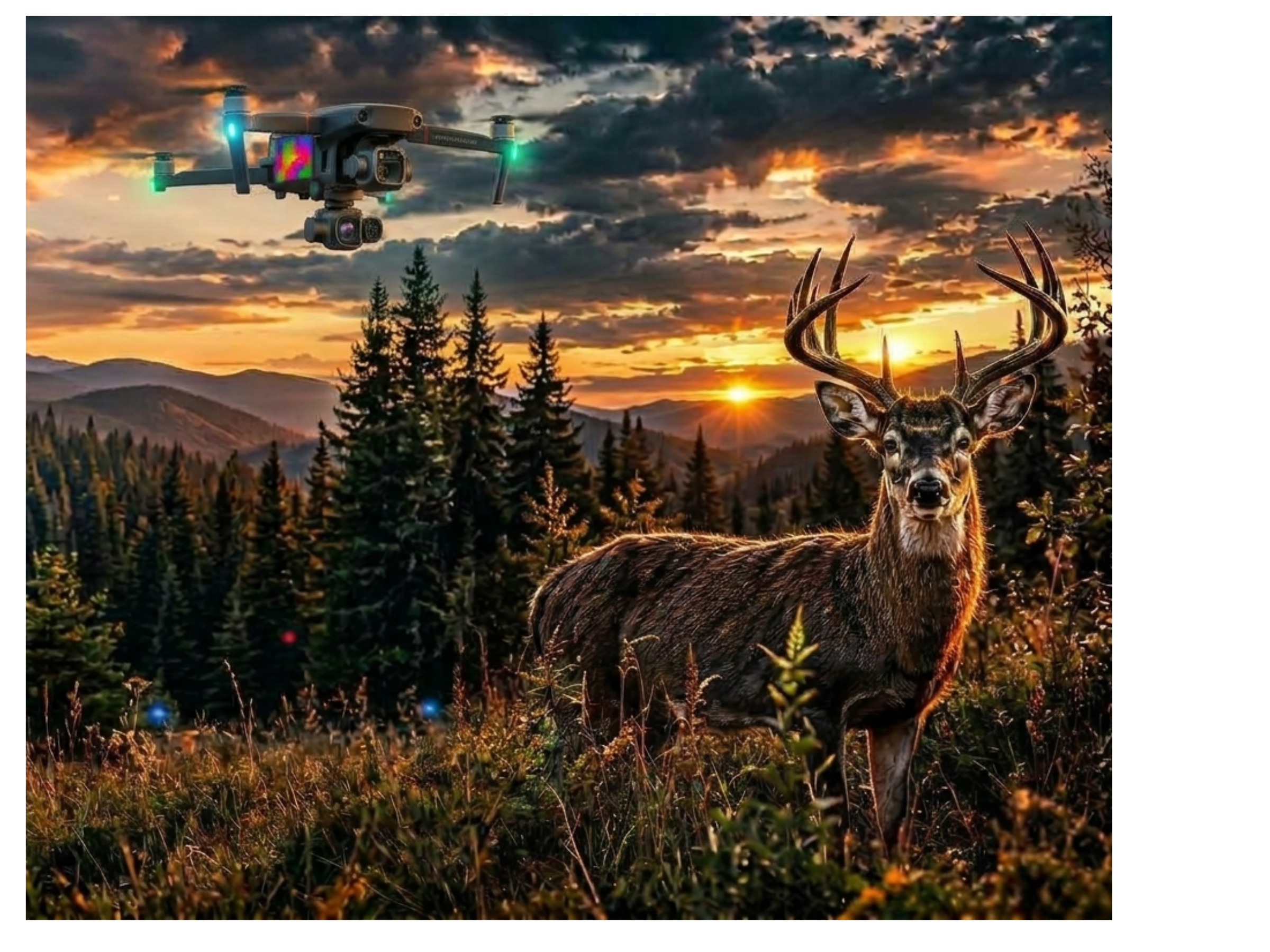
frequently asked questionsis recovery guaranteed?
no, but success with a thermal drone and kowledgeable pilot is as high as you can get. from 80% in early season to near 100% from beginning of november on.
can i fly over a neighbors property you don’t have permission to hunt on?
absolutely, faa controls airspace, and i will fly any unrestricted airspace. you only need to have permission to hunt where i launch from OR be able to launch from a public location that is not restricted.
What other services do I offer?
i offer a full range of herd analysis to monitor trophy deer farms, acquired crop damage permits, locate livestock, and even lost pets.
Do i offer discounts?
not usually. you can find drone services cheaper, but you won’t get equal results.